
Stuck on an issue?
Lightrun Answers was designed to reduce the constant googling that comes with debugging 3rd party libraries. It collects links to all the places you might be looking at while hunting down a tough bug.
And, if you’re still stuck at the end, we’re happy to hop on a call to see how we can help out.
Incomplete geojson layer with large source data
See original GitHub issueWe have a dataset of 1000+ polygons rendered through a GeoJsonLayer which only seems to render part of the total number of features.
Code:
    new GeoJsonLayer({
        id: 'plots',
        pickable: true,
        drawCountour: false,
        data: polygons,
        onHover: onHoverBound,
        onClick: onClickBound,
        stroked: false,
        fp64: true
      })
This is the rendered output:

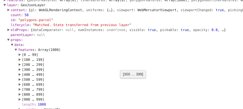
And the length of features:
I’ve confirmed the data does render correctly when passed into an ArcGIS layer map:

Any ideas? I looked through all the settings and didn’t see any for max or limit. Cheers
Issue Analytics
- State:

- Created 6 years ago
- Comments:18 (4 by maintainers)
 Top Results From Across the Web
Incomplete geojson layer with large source data #749 - GitHub
We have a dataset of 1000+ polygons rendered through a GeoJsonLayer which only seems to render part of the total number of features....
Read more >Working with large GeoJSON sources in Mapbox GL JS | Help
Strategies for handling large GeoJSON sources with GL JS. ... Cleaning up your data; Store GeoJSON at URL; Symbol layers; Tolerance; Even bigger...
Read more >Saving JSON data result in an incomplete file
I ran into this issue myself. My project entails opening a GeoJSON file, adding/editing/deleting features, and then saving that file.
Read more >Map layer displayed by ol.layer.Vector via geojson incomplete?
What I Met: I am using Google Map as bottom map, and GeoServer as GIS server, providing WMS and WFS service. The layer...
Read more >FME errors with Geojson writer and reader - FME Community
The JSON data is incomplete: Unexpectedly encountered the end of JSON data ... Can load large geojson file (15 GB) without memory error....
Read more > Top Related Medium Post
No results found
 Top Related StackOverflow Question
No results found
 Troubleshoot Live Code
Lightrun enables developers to add logs, metrics and snapshots to live code - no restarts or redeploys required.
Start Free Top Related Reddit Thread
No results found
 Top Related Hackernoon Post
No results found
 Top Related Tweet
No results found
 Top Related Dev.to Post
No results found
 Top Related Hashnode Post
No results found
I updated our code to match yours as well as updating to 4.0.6, I will verify but it seems that it is working.
Thanks for the help!
@contra I re-downloaded from your link, now it’s a larger file (26,584 features):